
Ewa Gentry ZIP Coverage
Ewa Gentry has no separately confirmed postal code in the official sources reviewed. The main verified context is Ewa Beach 96706. Nearby Kapolei 96707 is an edge check, not an Ewa Gentry assignment without an exact-address result from the U.S. Postal Service. That careful finding keeps the Ewa Gentry ZIP code directory from treating a post office, statistical zone, and community boundary as the same place.
| ZIP Code | Areas Covered | Post Office | Notes |
|---|---|---|---|
| 96706 | Principal Ewa Beach and Ewa-area postal context | Ewa Beach Post Office; Ewa Station | Verify each address; not equal to the CDP |
| 96707 | Nearby Kapolei and Barbers Point context | Barbers Point | Not confirmed for Ewa Gentry without USPS validation |
| None found | Ewa Gentry-only PO boxes or unique institution | None identified | Do not infer an exception |
The Ewa Beach Post Office listing gives 91-760 Papipi Road as 96706-9998, while Ewa Station uses 96706-1999. Barbers Point is listed in Kapolei at 96707-9996. Those suffixes identify postal facilities, not every nearby delivery point.
The USPS facility result below makes the 96706 setting visible. It supports routing, not a list of Ewa Gentry residents.
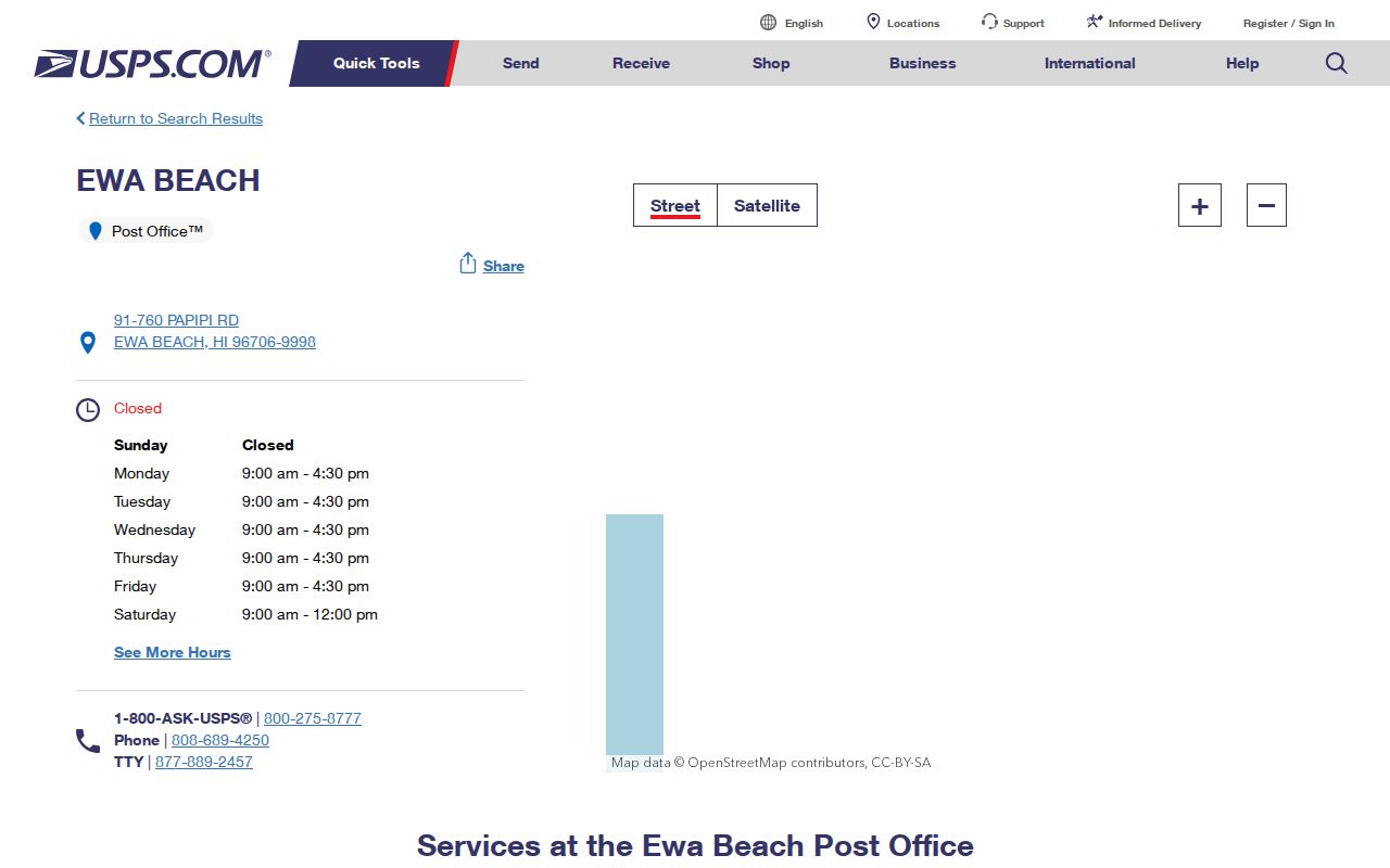
Pair that facility result with the full street address, especially near the 96706 and 96707 edge.
Ewa Gentry ZIP Versus CDP
The Census Bureau identifies Ewa Gentry as census-designated place GEOID 1507470. A CDP is a statistical place. USPS codes organize mail delivery, while a ZCTA is the Census Bureau's approximation of ZIP geography. None of those shapes is a tax parcel or a deed boundary.
TIGERWeb's Hawaiʻi CDP table lists Ewa Gentry apart from Ewa Beach and Ewa Villages.
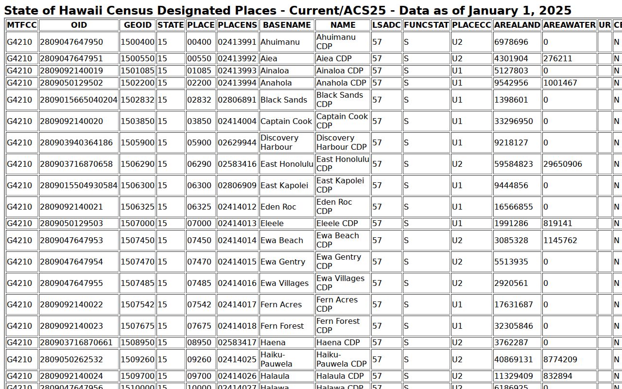
The row supplies geographic identity, not a delivery boundary, owner, or household roster. QuickFacts reports 25,707 Ewa Gentry residents in the 2020 Census, up from 22,690 in 2010, across about 2.13 square miles. Those numbers describe the CDP as a whole.
Verify an Ewa Gentry ZIP
The USPS ZIP Code Lookup is the first stop for a current mailing address. USPS warns that a result does not confirm that a person or company is at the address.
| Search field | Use in the ZIP check |
|---|---|
| Company | Optional name; not proof of occupancy |
| Street address | Complete house number and street |
| Apartment or unit | Include when one is assigned |
| City and state | Preserve the postal form returned |
| ZIP Code | Use city-by-ZIP to check the postal name |
Save the normalized line, city, ZIP+4, date checked, and source. Keep the Ewa Gentry CDP, Honolulu district, Neighborhood Board, and TMK in other fields. This prevents a false match when agencies label the same place in different ways.
Note: Postal assignments can change, so each Ewa Gentry ZIP code directory result needs a retrieval date.
Search Ewa Gentry by ZIP
No verified official portal offered a public ZIP-wide roster of Ewa Gentry residents. USPS validates delivery data. The assessor is keyed to address, account, or parcel, and its exact ZIP filter could not be verified because the live application was blocked during research. The parcel layer uses TMK and geometry. Hawaiʻi's voter service is a private self-check, not public browsing.
- Validate the complete address with USPS. Record the normalized city, ZIP+4, and date.
- Enter the street address in the Honolulu parcel selector. Copy its address ID and Tax Map Key.
- Open HoLIS and confirm that the TMK polygon is in the expected Ewa Gentry area.
- Use the TMK in assessment and planning records. Treat a name as dated evidence, not present residence.
Once the postal area is sound, the Ewa Gentry street directory handles street-level parcel and deed work. That route is more precise than attempting to export every address inside a ZIP.
Ewa Gentry ZIP to TMK
The Honolulu regulatory parcel selector bridges a mailing line to land records. It offers a current address label, address ID, tax parcel, regulatory parcel, point of interest, and TMK. The TMK links the assessor, HoLIS, planning, and deed systems and is more stable than a postal city label.
The Honolulu QPublic gate says its assessment information is general tax data, not legal documentation.
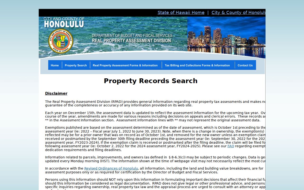
Search by exact address or TMK after accepting the disclaimer. Do not claim a ZIP-wide owner search because the live application's current fields were not verified.
- Situs address
- The physical parcel location.
- Mailing address
- Where tax mail goes; it may be elsewhere.
- TMK
- The tax map key linking land systems.
- Legal description
- The deed's land description, not merely its street line.
Ewa Gentry's 96707 Edge
Barbers Point uses Kapolei 96707, while Ewa Beach facilities use 96706. DPP's Ewa supplemental map places Ewa Beach, Ewa, Ewa Marina, Iroquois Point, Fort Weaver Road, and the Primary Urban Center boundary in one planning frame. Nearby geography makes a guessed code risky.
If USPS returns another city name, keep it and preserve Ewa Gentry as a separate Census or community label. When the parcel map and mailing line conflict, check for common areas, new lots, condominium units, old numbers, or an off-site mailing address. No official Ewa Gentry-wide ZIP crosswalk or renumbering schedule was found.
Ewa Gentry ZIP Boundary Limits
Ewa Gentry is an unincorporated CDP in the City and County of Honolulu, so there is no Ewa Gentry municipal line for a ZIP to follow. The Census CDP, ZCTA 96706, Ewa District, Neighborhood Board No. 23, and Ewa by Gentry association area each answer a different question. The Ewa Gentry ZIP code directory preserves those layers.
- ZIP and ZIP+4
- A five-digit delivery area and a more exact nine-digit delivery code.
- PO-box ZIP
- A code for post office boxes rather than broad street delivery.
- Unique ZIP
- A code for one high-volume organization; none was found for Ewa Gentry.
- Carrier route
- A postal delivery path, not a neighborhood border.
Neighborhood Board No. 23 adds a civic boundary that is broader than the Ewa Gentry CDP. Ewa by Gentry association documents cover a narrower set of subdivisions and common areas. Neither line can replace USPS delivery data or a parcel polygon. Label every map by its keeper and purpose.
The strongest chain is exact address to USPS postal form, then address to TMK, then TMK to the parcel viewer. Save the retrieval date because postal service, assessment records, and civic boundaries can change on separate schedules. If an address is new or disputed, DPP handles questions tied to incorrect addresses, vacant parcels, new dwellings, added dwellings, and legality checks.
Hawaiʻi's Uniform Information Practices Act keeps privacy in the records process. It does not turn a postal match into permission to publish private household facts.
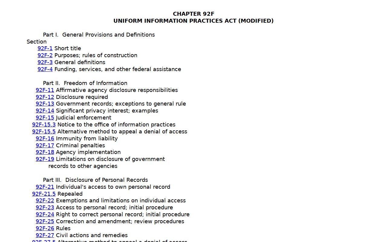
The statute view reinforces that access depends on the record, while a ZIP is only a geographic field.
Older Ewa Gentry Address Labels
Historical directories can predate ZIP codes or use broad island labels. The inspected 1933 Polk-Husted directory predates modern Ewa Gentry development. Its Honolulu and Oʻahu wording should be copied as printed, not replaced with a modern Ewa Beach ZIP.
For an old address, ask a library or archive for the exact year and street. Build a crosswalk with the source's locality, current USPS line, Census label, and TMK. The UH city-directory bibliography confirms long runs, but not a current Ewa Gentry roster. This method keeps the ZIP code directory useful without forcing today's postal code onto past records.
State survey records provide an unusually long bridge. The Land Survey collection began in 1871, contains about 90,000 maps, and includes an 1887 Ewa map. The identified Sanborn sources are Honolulu-centered and did not establish direct Ewa Gentry coverage, so a survey sheet, deed description, and later parcel map are the more defensible sequence.
Project names can narrow twentieth-century material before a street appears. Search Ewa by Gentry Development Plan, Sun Terra, Sunrise Gentry Homes, and Ewa Gentry Drainage in planning files and newspapers. Confirm the tract through a legal description or TMK, then use USPS only for the modern mailing form.
Postal facilities offer context but not a resident list. The Ewa Beach Post Office is at 91-760 Papipi Road and uses 96706-9998, while nearby Barbers Point uses Kapolei 96707. An Ewa Station result can also use 96706. Run the actual home address instead of borrowing the ZIP from the nearest named facility.
When recording a result, keep four labels apart: postal city, five-digit ZIP, Census place, and parcel jurisdiction. Add the TMK and retrieval date when the purpose involves land. That small record makes it possible to repeat the search even if a website changes its display.
Do not treat a missing ZIP filter as a dead end. Search the exact address, capture the TMK, and continue through the parcel record.