
Ewa Gentry Neighbor Sources
The strongest block search combines geometry with dated public records. HoLIS shows which polygons touch. Honolulu property records can supply the assessed owner or entity after the disclaimer is accepted. Planning files add work history, while a deed index can tie a name to a recorded instrument. Voter data is purpose-limited, and community groups offer civic context rather than household membership.
| Source | What It Shows About a Block | Access |
|---|---|---|
| HoLIS and parcel REST layer | TMKs, polygons, zone, section, plat, parcel type, adjoining shapes | Free map and REST query |
| RPAD / QPublic | Assessment owner or entity, situs and mailing fields, tax context | Online disclaimer and search |
| DPP / DAIB | Permit and property-work chronology | Summary search; older files by request |
| Ewa Neighborhood Board | Boundary, street index, agendas, and civic issues | Public meetings and archive |
| Ewa by Gentry Association | Governance, subdivisions, common areas, and public rules | Public site; no member list found |
An owner may live elsewhere, and a mailing address may differ from the site address. Trusts, companies, recent transfers, and update delays add more uncertainty. Call the result a neighboring parcel until another dated record supports a person and place. That wording matters when identifying Ewa Gentry neighbors.
An Ewa Gentry Neighbor Parcel
“Adjacent” has a narrow meaning in GIS: polygons touch or appear next to each other at the map scale. A tax parcel can differ from a regulatory parcel. Streets, drainage tracts, common areas, and other non-addressable shapes may sit between homes. Condominium and multi-parcel arrangements may also use suffixes or legal descriptions that a simple street search does not reveal.
- Parcel
- A mapped unit of land used for tax or regulatory work.
- TMK
- The Tax Map Key that links Honolulu land systems.
- Situs address
- The parcel's physical location, distinct from its mailing address.
- Plat
- A recorded map that lays out lots and related land features.
The state parcel REST layer includes TMK forms, parcel type, GIS acres, zone, section, plat, recorded area, and a QPublic link. It does not expose owners or residents in the inspected sample. That gap prevents a map click from becoming an unsupported identity claim.
Map Ewa Gentry Neighbors
HoLIS is the main spatial bridge for a block. Research did not confirm a public buffer or automated neighbor export. The reliable method is to click adjoining parcels or use geometry in the Oʻahu parcel REST layer.
- Validate the target street address, then resolve it to a TMK with the parcel selector.
- Open HoLIS, zoom to that polygon, and click the shapes that visibly touch it.
- Record each adjoining TMK and parcel type. Remove streets, common areas, and regulatory-only shapes.
- Follow each remaining TMK to its own assessor, permit, or deed record only when needed.
The result is a list of adjoining land records, not a social network. For every lot on a named road, use the Ewa Gentry street directory instead of widening this block method without limit.
Ewa Gentry Community Layers
The Ewa by Gentry Community Association represents a master-planned setting with multiple subdivisions, common areas, elected governance, and public community rules. Its 2025 guidelines describe single-family neighborhoods and multi-family AOAOs with separate governing documents. That structure helps explain why no single public community resident list was found.
The Ewa by Gentry Association overview is shown below. It provides governance and contact context, not the names of Ewa Gentry neighbors.
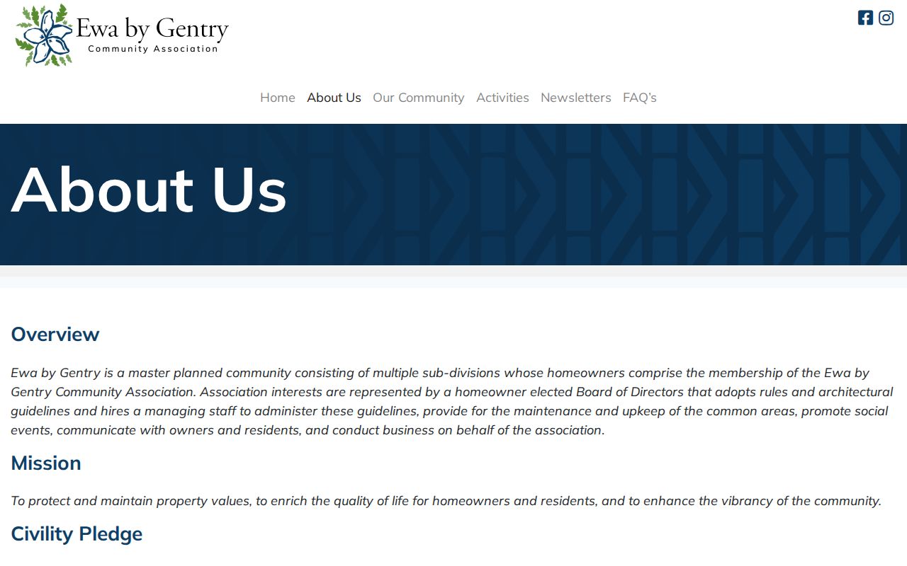
The association can be reached at 91-1795 Keaunui Drive, Ewa Beach, HI 96706, or 808-685-0111. Never infer membership merely because a parcel lies near an association feature.
Common areas need special care on the parcel map. A greenway, drainage tract, private road, recreation parcel, or association lot may touch the subject parcel without representing a household next door. Read parcel type, area, ownership, and map shape before counting it as a neighbor. Multi-family AOAOs can also place many units within one larger parcel geometry.
Ewa by Gentry Association
Community governance, subdivisions, common areas, and public guidelines. No public member directory was located.
Neighborhood Board No. 23
Broad civic Ewa boundary, meetings, agendas, street index, and public issue archive.
Neighborhood Commission Office
City umbrella for board maps, rules, agendas, elections, and contacts.
Ewa Neighbors in Civic Records
Neighborhood Board No. 23 covers a broader area than the Ewa Gentry CDP. Its official plan traces a civic boundary around a much larger Ewa area, and its street index routes streets to boards. Those tools are good for finding the right public meeting. They are not parcel boundaries or evidence that a person belongs to an association.
The 2026 Ewa Neighborhood Board archive records meeting dates, civic issues, a remote access path, and use of the Ewa Beach Public and School Library as a venue.
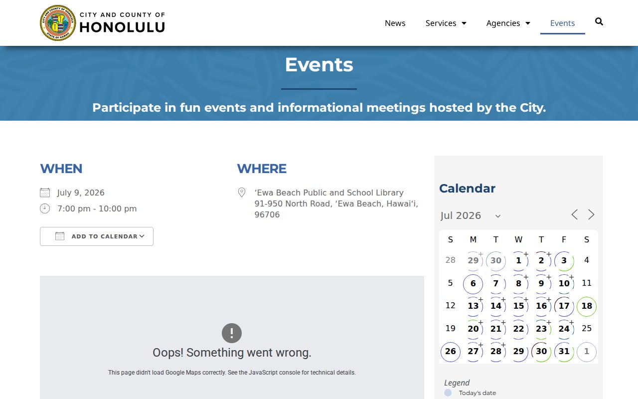
Agendas can show what concerns the area. Public attendance still does not establish that an attendee lives on a given Ewa Gentry block.
The Ewa Beach Public and School Library is part of that civic record trail. The branch opened in 1971 on the James Campbell High campus, later hosted public computers, and serves as a meeting venue. Its newspapers and genealogy databases add historical context, but library use does not imply that a named person lives nearby.
Ewa Gentry Voter Boundaries
A precinct layer can place a block in an election district, but it does not open a household roster. HRS §11-97 makes limited fields such as full name, district or precinct, and status public while restricting other personal information and uses. The online voter service requires a Hawaiʻi ID and part of the user's Social Security number for a self-check.
Hawaiʻi Elections' privacy information is pictured here.
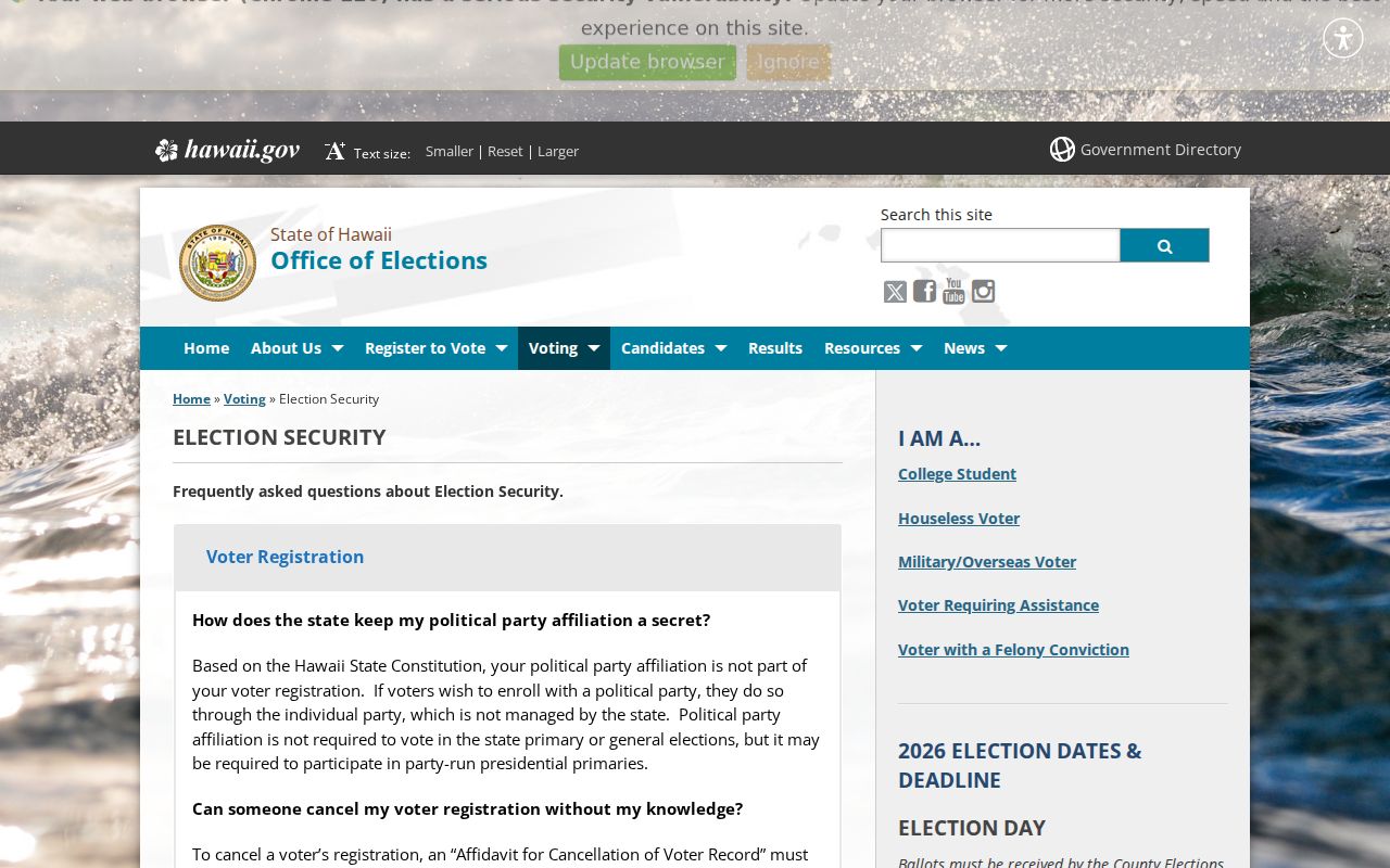
The official explanation supports district research while ruling out an open browse of Ewa Gentry neighbors by street address.
Ewa Gentry Neighbor Tools
Commercial neighbor tools may combine stale public fragments, address associations, and proprietary files. Their match quality and opt-out persistence vary. An official parcel trail is slower, but it identifies the keeper, date, and limits of each record.
| Source type | Strength | Limit |
|---|---|---|
| Official GIS and parcel records | Defined geography, TMK, accountable custodian | Parcel facts do not prove occupancy |
| Civic and association sources | Boundaries, meetings, public rules | No public household roster found |
| Commercial compiled tools | May group scattered address clues | Unknown freshness, weak identity matches, uneven opt-outs |
Use the official route first. If records conflict, report the conflict rather than selecting the most convenient name.
When the map viewer is hard to use, the state Oʻahu parcel layer exposes TMK, parcel type, area, zone, section, plat, and a QPublic link. RPAD also offers office review of current and historical assessment, tax, classification, exemption, land, building, and improvement records. DPP can help with permit-file questions tied to an address or TMK.
Those channels answer different block questions. The map establishes adjacency, the assessor supplies the assessed owner, DPP dates permitted work, and association records explain shared rules or common areas. None establishes every occupant. Record each source beside the claim so a later update does not merge old ownership with current geography.
A whole named street requires a different scale. Once the immediate polygons are classified, continue only when the research question truly concerns the full road. The street directory method handles repeated parcel checks, address normalization, deed chains, and permit files without treating the first map extent as a complete neighborhood.
For a past block, city directories and newspapers can add dated household clues. Use the volume year as part of every citation and do not carry an old occupant into the present. Streets, lots, and house numbers can change while a TMK or legal description provides a steadier bridge.
When a record stays unclear, call the named custodian instead of guessing. Ask about the parcel, permit, board record, or public association document, not a private household roster.
Ewa Gentry Neighbor Privacy
No public block roster was located. Household makeup, renter status, utility accounts, delivery records, unlisted phone or email, protected addresses, and nonpublic voter fields remain outside a lawful neighbor search. Association inspection or covenant material is not a public resident roll. The Hawaiʻi Address Confidentiality Program also supplies qualifying survivors with a substitute address and mail forwarding. That address must not be reverse-engineered.
Lawful use. Research Ewa Gentry neighbors for civic curiosity, reconnecting, or personal safety. Never use records to watch, harass, threaten, or harm someone.
The safest output minimizes exact home details, dates each source, and distinguishes an assessed owner from a resident. A substitute address is a protection, not an error to correct.